

3D scanning of buildings, structures and objects
— point clouds, 3D and BIM models

We deliver accurate laser scanning, point clouds and 3D models for construction, energy, infrastructure and government services. Data you can rely on.

View application areas
Accuracy down to 1–2 mm Point clouds .e57 / .las BIM / CAD / GIS integration

Why 3D scanning and point clouds

Previously, source data for design was collected manually: selective measurements, photos and drawings “by points”. Now the facility is captured as a whole — as a point cloud — and becomes a digital twin you can use for design, as-designed vs as-built comparison, and remote work.

Before

Traditional surveys and inspection

Source data for design is collected manually: selective measurements of key points and object elements are taken, then geometry is reconstructed in a CAD environment.

Field work ⏱ 2–10+ days

Measurements are performed using tape measures, laser distance meters and total stations. Main dimensions and characteristic points of the object are recorded.

Downside: if data is incomplete, additional measurements or another site visit may be required.

Office processing ⏱ 3–7+ days

The collected data is transferred to CAD and used to build plans, sections and measured drawings.

Downside: part of the geometry is reconstructed by interpreting measurements, which can lead to discrepancies.

Method limitations ⏱ rework risk

When geometry capture is incomplete, some deviations are discovered at the construction or installation stage.

Downside: discovering mismatches late in the project increases timelines and cost.
Typical outcome 2D surveys + selective dimensions
Main risk incomplete data, human factor and repeat site visits
Now

3D scanning + point cloud

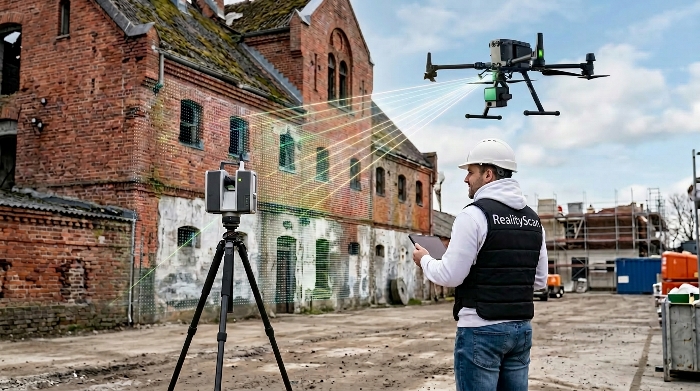
We capture the object as a whole: millions of measurements automatically become an accurate digital copy. From it we build drawings, 3D/BIM and perform analysis.

Object scanning ⏱ hours

A laser scanner captures geometry automatically (point cloud). We can also perform photography for texturing.

Upside: the full object geometry is captured without selective measurements.

Point cloud processing ⏱ 1–3 days*

Registration and stitching of scans, noise filtering, geo-referencing. Output: a single accurate point cloud suitable for analysis and modeling.

Upside: the point cloud can be reused without another site visit.

Model / BIM / drawings ⏱ 2–7 days*

From the point cloud we create polygon meshes, 3D models and BIM. We produce plans/sections, as-designed vs as-built comparison, bills of quantities and reports.

Upside: deviations and clashes can be detected before construction starts.

Typical outcome point cloud + 3D/BIM + reports
Main benefit faster, more accurate, fewer reworks
2M+
points per second
RGB
textures and color
Mesh
polygon meshes
BIM/CAD
models for design

What changes for the project

  • Time to obtain source data: hours instead of days and weeks.
  • Completeness: the full object geometry is captured.
  • Fewer site visits: all data is stored in the point cloud.
  • Control: deviations are detected before construction starts.
  • Reuse: analysis without rescanning.

* Processing and modeling timelines depend on object area, geometry complexity and the required level of detail (LOD).

Market segments we work in

3D scanning for reconstruction and restoration

Reconstruction

Building reconstruction with 3D scanning and Scan to BIM

We capture the current condition of a building or structure, then perform visual restoration of the historical appearance, and only after that convert the model to BIM. This sequence helps accurately calculate estimates and work volumes and prepare an object passport for the client.

Learn more
Point clouds for BIM and construction

Engineering and construction

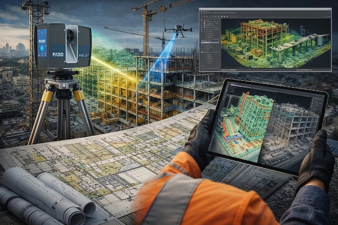
Point clouds and Scan to BIM for construction

We integrate laser scanning and BIM modeling into the object lifecycle — from surveys to operations. Point clouds and digital twins help detect clashes, control deviations and make precise decisions without unnecessary site visits.

Learn more
Digital copies of energy facilities

Energy

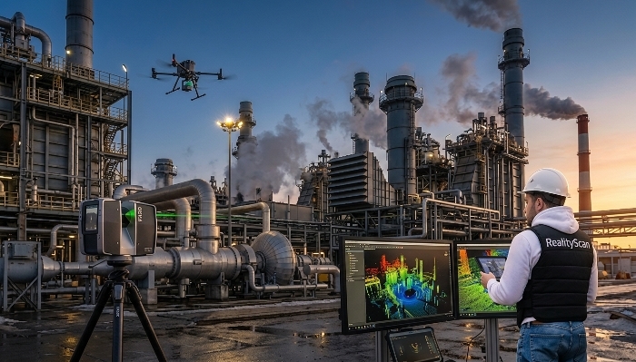
Digital twins of energy facilities

We build high-accuracy 3D models of energy facilities — from substations to CHP plants. Scanning helps detect defects, monitor wear and plan modernization without stopping production, reducing accident risks and repair costs.

Learn more
3D scanning for shipbuilding and ship repair

Ship repair

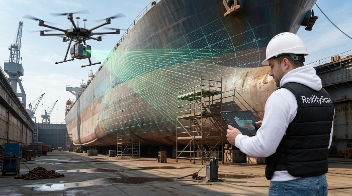
Ship hull 3D scanning for shipbuilding and repair

We digitize ship hulls, dock areas, sections and ship systems at 1:1 scale for early detection of deformations and clashes. A digital model helps plan repair and assembly without idle dock time and repeated measurements.

Learn more
Digital topographic maps based on DEM

Topography

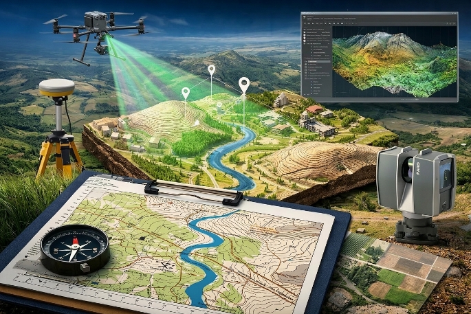
Digital topographic maps from DEM/DSM

We create accurate topographic maps from digital elevation models (DEM/DSM), LiDAR data and aerial photogrammetry. We show terrain, utilities, buildings and plot boundaries at the required scale. The result is a ready base for design, cadastre and approvals.

Learn more
Crop and livestock monitoring in 3D

Agriculture

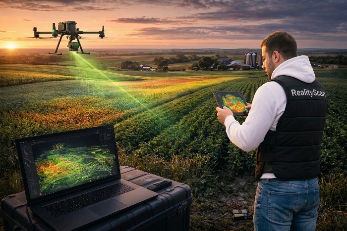
Precision agriculture: crop and livestock monitoring in 3D

We apply 3D scanning and point clouds to analyze crops, pastures and livestock facilities. You get accurate data on plant condition and terrain, optimize resources and improve yield based on objective analytics.

Learn more
A digital picture of the incident zone

Operational analytics for emergencies

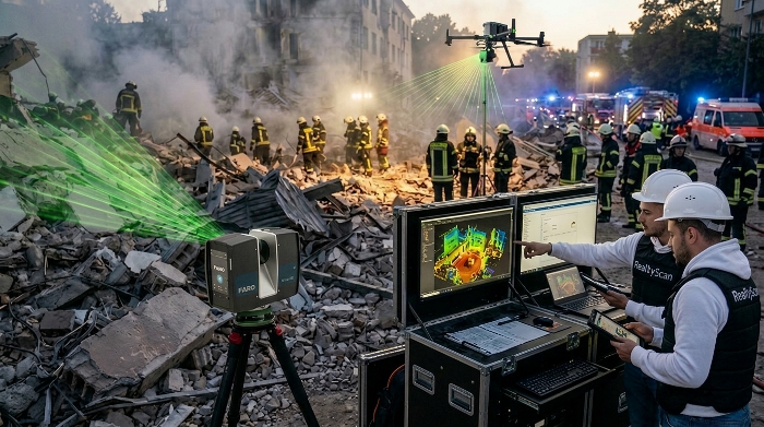
Incident zone 3D scanning for emergency response

We provide color point clouds and 3D maps of the incident zone for operational headquarters and emergency response units. Scanning, data transfer and visualization run near real time. This helps coordinate rescue operations, assess risks and make decisions based on an accurate digital model of the situation without putting personnel at risk.

Learn more
3D documentation of events and evidence

Law enforcement

Crime scene 3D scanning and digital evidence

We provide law enforcement agencies with an accurate digital reconstruction of events. Color point clouds and 3D models record the position of objects and evidence with coordinate referencing. Data is stored in an immutable digital form and is suitable for analysis, expertise and building an evidentiary package.

Learn more

Ready to discuss your facility?

We will suggest the optimal laser scanning and point-cloud deliverables, timelines and formats for your task.