

Engineering and construction

Full project lifecycle with point clouds and Scan to BIM

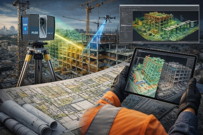
We integrate laser scanning and digital modeling into every stage: from surveys and design through operations and reconstruction. You get a measurable 3D foundation for controlled engineering decisions.

TLS accuracy: down to 1–2 mm Density: up to 10 million points/ha LOD: 300–400 Compare design geometry with as-built object geometry at an early stage
Engineering and construction based on 3D scanning

What the client gets

  • Laser scanning of the object with a high-density point cloud.
  • 3D models of buildings, structures and utility networks in CAD/BIM-compatible formats.
  • Clash detection and design optimization based on digital twins.
  • Geometry monitoring during construction and operations.
  • Model updates from periodic scanning campaigns.
  • Comparison of design geometry with as-built object geometry and early deviation detection.
  • Quantity takeoffs for earthworks, installation and demolition.

Key impact

  • Shorter survey and modeling timelines: hours/days instead of weeks.
  • Fewer site errors and lower rework costs.
  • Remote access to the object for engineering teams.
  • An as-built archive for operations and repair.

Technologies and equipment

TLS

Terrestrial laser scanning of façades, interiors and complex structures with accuracy down to 1 mm.

MLS

Rapid scanning of linear objects: roads, pipelines, tunnels and large sites.

UAV + LiDAR

Capture of hard-to-reach, extended and elevated zones while retaining engineering accuracy.

Photogrammetry

Texturing and visual detailing of 3D models for design and presentation tasks.

BIM/CAD

BIM model and CAD geometry creation, element attribution, preparation of sections and schedules.

Integrations

Export to operations systems (CMMS/EAM), package preparation for review and approvals.

Project delivery stages

1. Data capture

Site visit, grid-based scanning, formation of the raw point cloud.

2. Processing

Noise filtering, scan registration and stitching, georeferencing to a local or global coordinate system.

3. 3D modeling

BIM model creation (LOD 300–400), CAD geometry of building systems, semantic tagging.

4. Analysis and verification

Clash detection, comparison with the design model, deviation calculations and report generation.

5. Integration and handover

Export to operations systems, issue of documentation for review, handover and team training.

Delivery formats

  • Point cloud: .e57 .las .laz
  • 3D model: .rvt .dwg .ifc .fbx
  • Reports: deviation tables, floor plans, sections and elevations, quantity takeoffs

Standards compliance

  • SP 47.13330.2016 “Engineering surveys for construction”
  • GOST R 59562-2021 “Digital topographic maps. General requirements”
  • Client BIM standards (LOD, attributes, metadata)