Topography
Accurate topographic maps based on digital elevation models (DEM/DSM) for design and cadastral surveying.
We combine satellite imagery, LiDAR, total-station surveying, GNSS measurements and aerial photogrammetry.
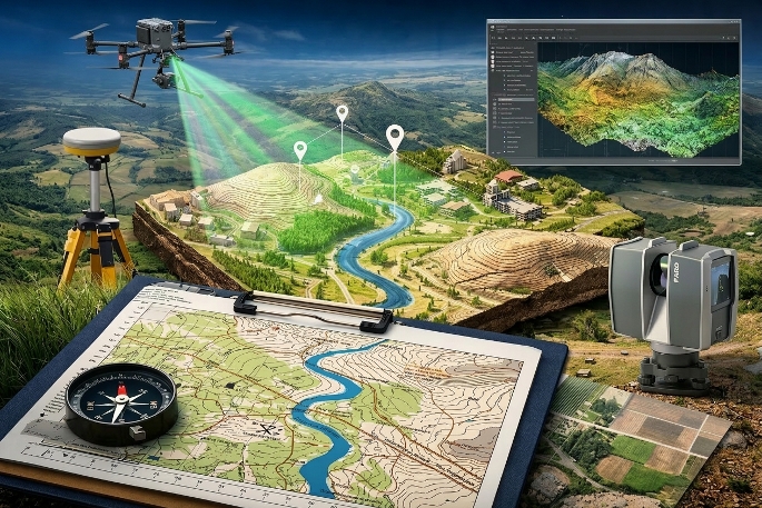
Topographic materials are structured by thematic layers so design, cadastral and operations teams can work with the data without loss or manual re-tagging.
Contours at a defined interval, elevation marks, microrelief forms and a surface model for engineering calculations.
Rivers, lakes, streams, wetlands, hydraulic structures and water-protection infrastructure elements.
Forest stands, shrubs and grassland areas classified by type and density.
Above- and below-ground networks: gas pipelines, water mains, cable lines, manholes, pumping stations.
Buildings, structures, bridges, overpasses and fencing with key parameters and intended use recorded.
Roads and railways, ramps, trails, cadastral boundaries and zones with special land-use conditions.
Integrating data from heterogeneous sources produces a continuous digital terrain model without accuracy gaps.
Collection of source data and agreement on the required map scale.
Data integration and cleaning, georeferencing to the selected coordinate system.
Elevation interpolation and building a continuous surface model.
Formation of thematic layers and styling of conventional symbols.
Quality control, release of the final package and delivery to the client.
The design team receives data that can be used immediately in the working workflow without manual recalculation and repeat surveys.


 English
  Russian